


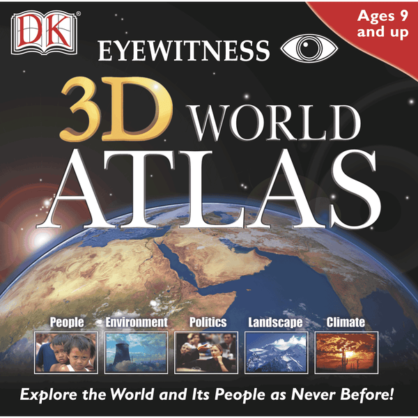
Explore the World and Its People as Never Before!
From Pole to Pole, this stunning, interactive 3D World Atlas is a complete, concise, and exciting way to explore the world. Featuring over half a million mapped locations, 3D World Atlas provides a level of detail to satisfy even the most demanding researcher. Discover in-depth geographical information on natural disasters, landscape formation and global climate. Or read comprehensive articles and statistics for almost 200 countries, with overviews that cover politics, media, crime, history and more!
Maps
GENERAL: Illustrates borders, with over 400,000 town and city names.
SATELLITE: Shows international borders and physical features.
PHYSICAL: Shows the forces that shape the Earth’s surface.
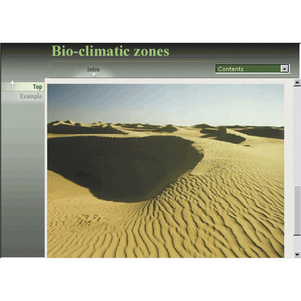
BIO-GEOGRAPHIC: Shows the Earth’s biomes.
EARTH BY NIGHT: Shows a satellite view of lights from cities across the world.
KEY FEATURES
• Hotlinks lead you to helpful geographic information
• Flat maps rendered as 3D globes
• Unique ‘horizon’ view of planet Earth
• Shows latitude and longitude co-ordinates
• Measure distance between two or more locations
• Mark and label your favorite locations
• Print or copy maps, text and graphics
• Supports school curriculum (grades 3–4)
People
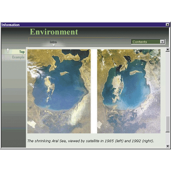
Environment
Politics
Landscape
Climate
Ages 9 and up
Windows® 10, 7
Pentium 200MHz processor or faster
64 MB RAM
45 MB free hard disk space
From Pole to Pole, this stunning, interactive 3D World Atlas is a complete, concise, and exciting way to explore the world. Featuring over half a million mapped locations, 3D World Atlas provides a level of detail to satisfy even the most demanding researcher. Discover in-depth geographical information on natural disasters, landscape formation and global climate. Or read comprehensive articles and statistics for almost 200 countries, with overviews that cover politics, media, crime, history and more!
Maps
GENERAL: Illustrates borders, with over 400,000 town and city names.
SATELLITE: Shows international borders and physical features.
PHYSICAL: Shows the forces that shape the Earth’s surface.
BIO-GEOGRAPHIC: Shows the Earth’s biomes.
EARTH BY NIGHT: Shows a satellite view of lights from cities across the world.
KEY FEATURES
• Hotlinks lead you to helpful geographic information
• Flat maps rendered as 3D globes
• Unique ‘horizon’ view of planet Earth
• Shows latitude and longitude co-ordinates
• Measure distance between two or more locations
• Mark and label your favorite locations
• Print or copy maps, text and graphics
• Supports school curriculum (grades 3–4)
People
Environment
Politics
Landscape
Climate
Ages 9 and up
Windows® 10, 7
Pentium 200MHz processor or faster
64 MB RAM
45 MB free hard disk space